Neither Cold Nor Snowfalls: AEMET Warns of the Phenomenon That Will Now Settle in Spain
AEMET has shared the weather forecast for the next 3 weeks and there's a detail everyone is noticing
After many days marked by cold temperatures and even snow in mountain areas, things could change. At least that is the conclusion drawn from the forecast of the State Meteorological Agency (AEMET) for the coming weeks. High pressures could give way to radically different weather in most of the peninsula.
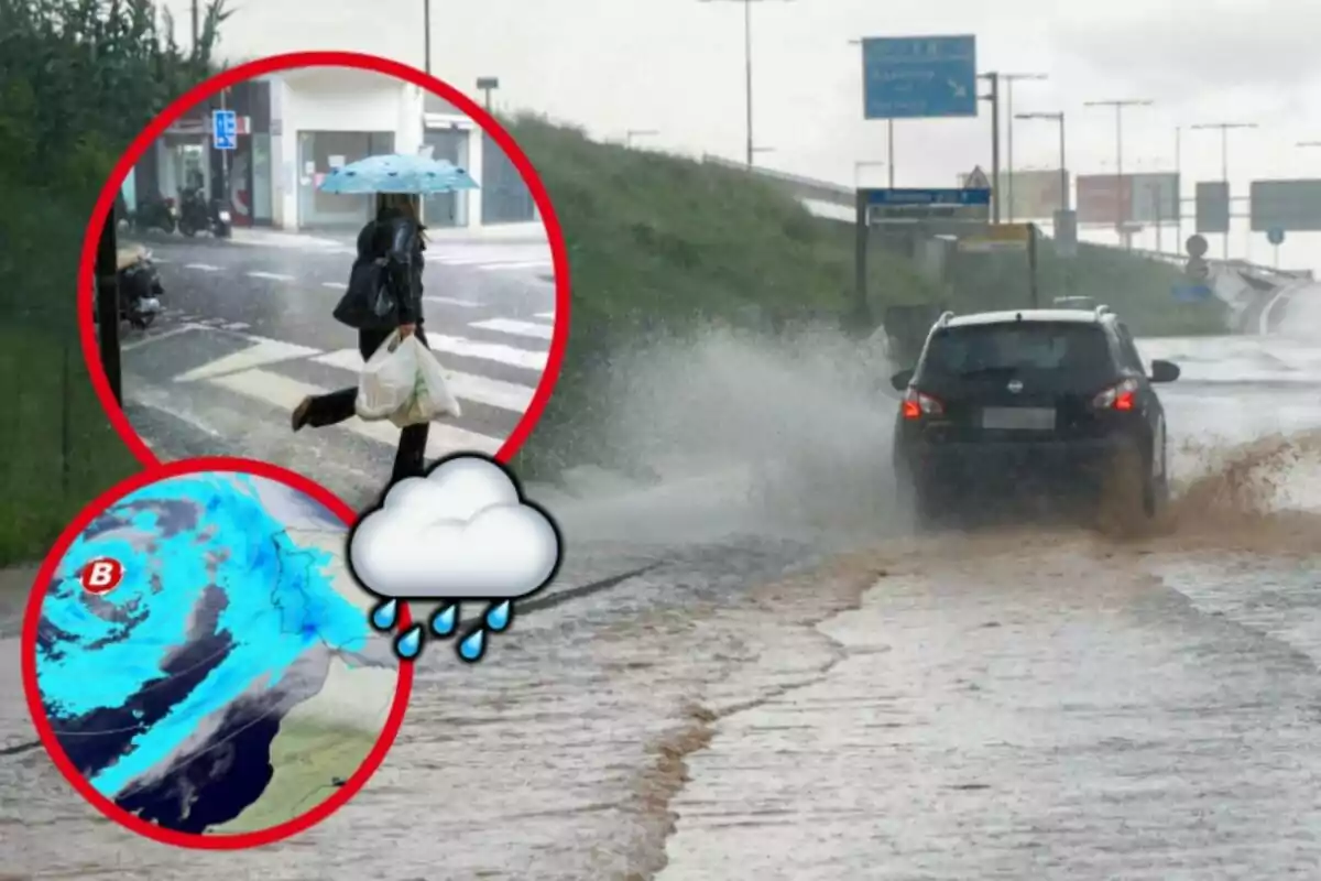
Although we are simply talking about a possibility, we could have much wetter weather in Spain. Precipitation anomalies indicate the arrival of several Atlantic storms, which will bring widespread rain. The price to pay, however, would be milder temperatures, even higher than the average for this time of year.
AEMET warns of a drastic weather change in Spain
This change in trend will be especially noticeable from February 10. It will be then when the humid air masses driven by the Atlantic fronts will begin to affect much of the country. A significant increase in precipitation is expected in the western half of the peninsula.

Meanwhile, the far north and the archipelagos will remain relatively on the sidelines. All this joined by a rise in temperatures in most of Spain. Even in the Canary Islands, the weather would be somewhat milder than usual in February.
Already during the week of February 17 to 23, the uncertainty in the forecast increases. The forecast points to the continuation of this humid and mild pattern. The arrival of warm air will continue to raise the thermometers above normal, consolidating a warmer than usual period in the middle of winter.
As for precipitation, Galicia, Castilla y León, and the north of Extremadura could receive rainfall accumulations above average. We are talking about Atlantic rains, so it is normal for these regions to receive the most persistent precipitation. This scenario suggests an atypical winter, without the extreme cold and snow episodes that usually characterize these dates.

Much uncertainty for the end of February
As we approach the last days of this month, the prediction becomes more uncertain. The anomaly forecast suggests that the trend could continue until early March. The week of February 24 to March 2 shows signs of persistence of the rain regime on the Atlantic front.
Meanwhile, temperatures will continue to be milder than usual, especially in the eastern half and the Balearic Islands. If this forecast is fulfilled, winter will end without major episodes of cold or significant snowfalls. Moreover, we could already enter a March with abundant precipitation and temperatures above average.
More posts: