'Below...': Roberto Brasero warns of snowfalls in all these communities
Roberto Brasero has warned that the cold will settle in almost all of Spain and that the snowfalls will be generous
This week began under an anticyclonic outlook, with cold temperatures at night and mild during the day. The sun was the protagonist in many regions, although morning fogs made an appearance especially inland. During the afternoons, the thermometers rose, allowing for a more pleasant atmosphere.
However, the change is about to happen, and what seemed to be calm weather will turn into a more wintry situation. The arrival of cold, rain, and snow is about to disrupt this sunny environment. This has been assured by Antena 3 meteorologist Roberto Brasero, who pointed to Thursday as the day when the changes will begin.
Although the day started with sunny weather, clouds will increase in the Mediterranean area. In the case of the Balearic Islands and the Alboran Sea, some scattered showers could even be recorded. In the Canary Islands, clouds are also expected in the north of the more mountainous islands, with some light precipitation.

Roberto Brasero, with his eyes on what happens on Friday
The most significant change, however, will be on Friday, when a rain front will sweep across the peninsula, leaving precipitation in many regions. What will arrive is a cloudy front, which will bring precipitation to most of the peninsula. For now, however, some points in the southeast and the Balearic archipelago will remain on the sidelines.
For Roberto Brasero, the most notable thing is the arrival of a polar air mass, which will cause temperatures to drop significantly. "This front will bring snow to the mountain areas," Brasero stated.
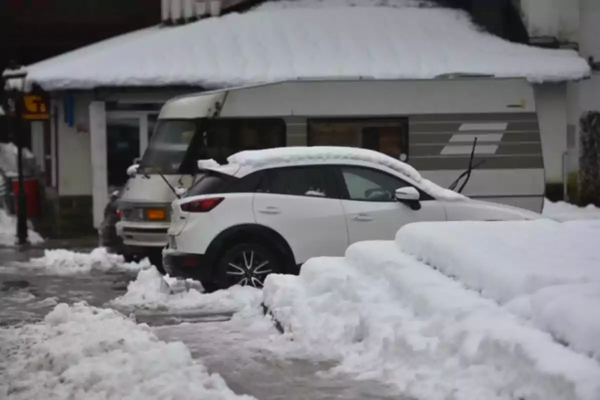
In this regard, he pointed out that the snow will be lower than expected. We could see snowfalls even below 700 meters in the north of the peninsula. In the rest of Spain, snowfalls will be from 1200/1500 meters in the mountain ranges.
More changes heading into the weekend
Already thinking about the weekend, although the front will pass quickly, on Saturday we could still have rain in the south and east. There will be uncertainty about the direction the front will take, as it could move south, which would leave storms in Andalusia. Or, it could move east and generate a storm in the Mediterranean, affecting the Balearic Islands and the Strait.

As for the snowfalls, the eastern Pyrenees are expected to receive snow from 1200/1400 meters. The snow level could drop to 500 meters in the western Pyrenees, with colder temperatures throughout the country. In fact, the cold will be the general trend over the weekend, especially in the morning and at night.
More posts: