Official: Roberto Brasero drops the bomb about the weather and warns of a radical shift
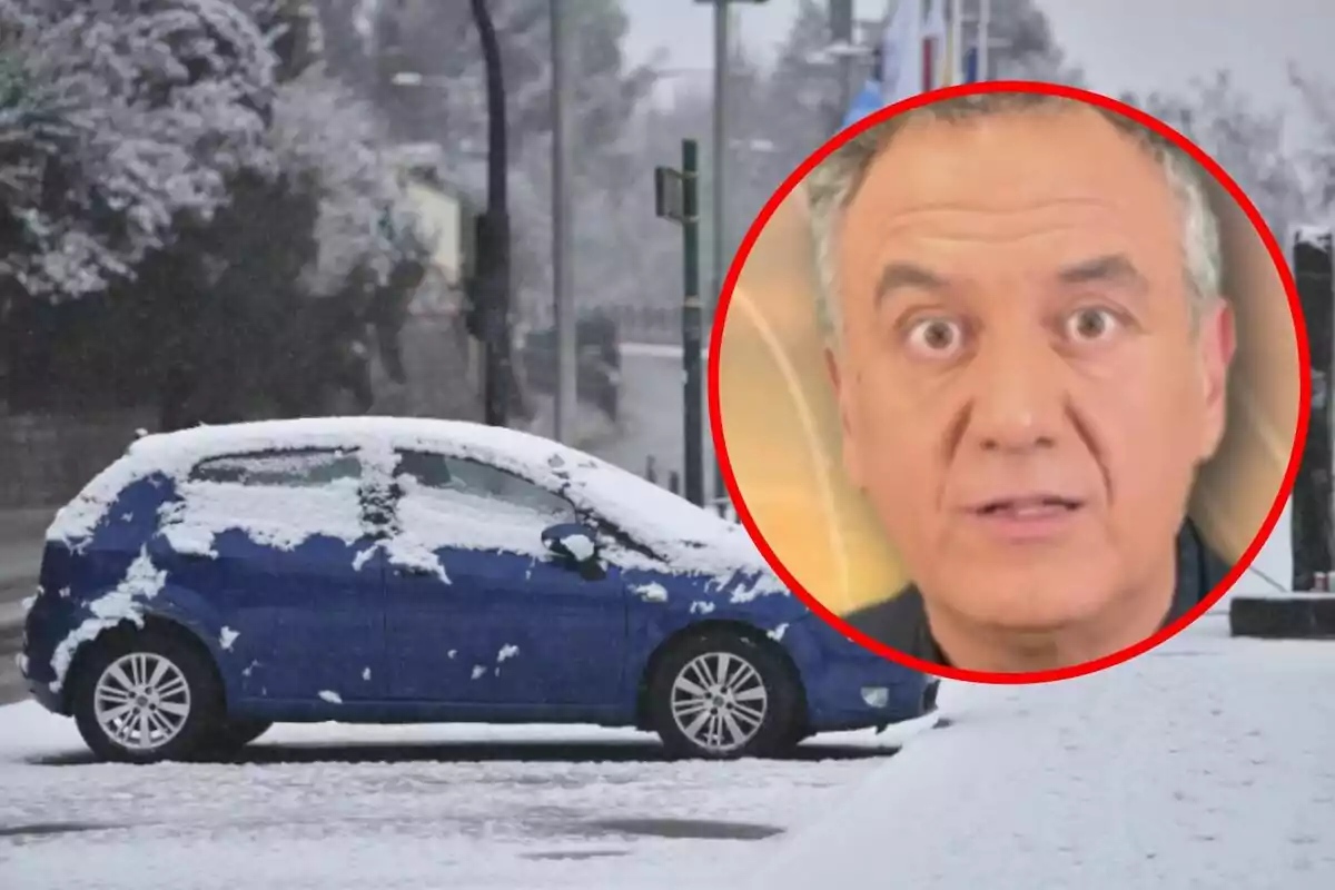
Roberto Brasero has warned of a drastic change at the end of this week, which will result in cold and snowfall.
After several days of rain in the south, the weather outlook will change drastically this week. That's what Roberto Brasero assures, who has warned of dry and sunny weather, but only for a few days.
The stability and mild temperatures during the central hours are numbered. Antena 3's meteorologist has pointed out that, looking toward the weekend, we will have a drastic weather shift. We will experience a true winter blow, with the arrival of a large mass of cold air of Siberian origin.
Roberto Brasero reveals the weather we will have these days
This Tuesday, the storm that left heavy rainfall in Andalusia yesterday will begin to lose intensity. Even so, intense showers could be recorded in Melilla and the Strait, with strong easterly winds on the Andalusian coast. In the rest of Spain, clear skies will dominate after the dissipation of some morning fogs.

Night temperatures will continue to drop below zero in wide areas of the northern interior and in mountains of the southeast. Frosts will affect the Cantabrian Mountains, Pyrenees, and Northern Plateau more intensely. Throughout Wednesday and Thursday, the anticyclone will take control, consolidating a dry and stable environment.
Daytime temperatures will be milder, with highs ranging between 50 and 59 degrees Fahrenheit (10 and 15 degrees Celsius) in many inland cities and up to 68 degrees Fahrenheit (20 degrees Celsius) in parts of the Mediterranean. Frosts will remain present in the north and in elevated areas of the eastern peninsula, although without major changes.
Watch out for what's coming on Friday
But Friday will mark the beginning of a radical weather shift. According to Roberto Brasero, a corridor of cold winds from the interior of Europe could be caused. This would cause a significant drop in temperatures as the weekend progresses.
This continental polar air would first affect the northern half, later spreading to much of the country. The thermal drop will intensify on Saturday and Sunday, with significantly lower daytime temperatures and more widespread frosts. The afternoons will no longer be as mild, and the feeling of cold will be much more pronounced.

Although there is still uncertainty about the precipitation, if confirmed, snowfalls could affect many areas. Significant snow accumulations could occur in the northern mountains and are not ruled out in the eastern peninsula.
In the Canary Islands, the coming days will bring clouds in the north of the more mountainous islands, with the possibility of light rain. Starting Thursday, the arrival of suspended dust from the Sahara will generate episodes of haze and an increase in temperatures.
More posts: