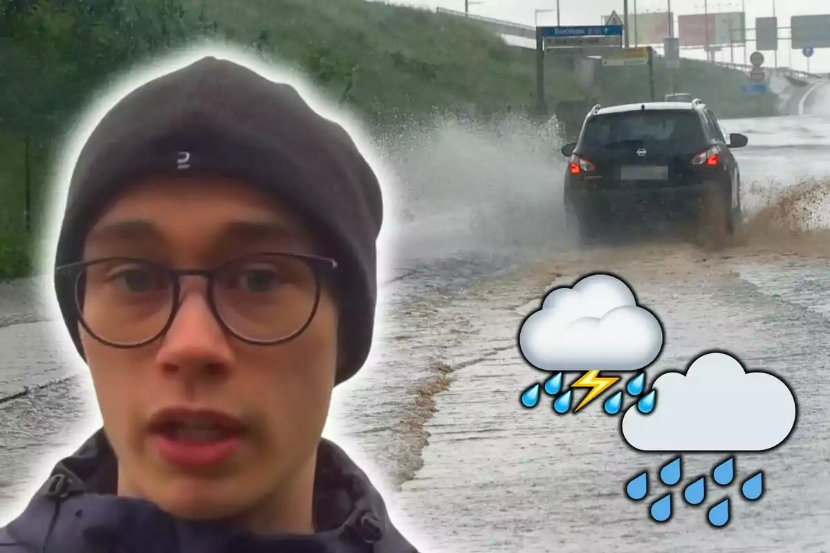
Neither Snowfalls Nor Much Cold: Jorge Rey Warns of the Phenomenon Returning to Spain Today
Jorge Rey has confirmed the return of the anticyclone to the peninsula, in addition to a well-known phenomenon in some regions.
The last few days have been marked by significant weather variability in Spain. Rain has made an appearance in different parts of the country, with particular intensity in the west. All of this has been joined by temperature fluctuations, along with occasionally intense wind gusts.
However, the weather scenario is about to change with the arrival of high pressure. According to young Jorge Rey, the anticyclone will settle over the peninsula, limiting the entry of active storms and significantly reducing precipitation. These will be limited to Galicia and the Cantabrian region in the coming days.
The rest of the country will experience a much more stable environment, with mild temperatures and no precipitation. In this regard, Jorge Rey has warned about the return of another phenomenon that millions of Spaniards are very accustomed to. It is, as many may have guessed, the fog, which will gain ground with the anticyclonic stability.

Jorge Rey Sends a Clear Warning About Fog in These Areas
This Thursday, fog will be prominent in the Guadiana Valley and the northern mountains, where it will significantly reduce visibility. Over the weekend, it will also extend to the interior of the peninsula and the Ebro Valley, areas where it could be persistent.
Jorge Rey warns that, with the arrival of the anticyclone, conditions will be ideal for this fog to persist for hours. And as often happens in these cases, it will result in gray days with high humidity. Meanwhile, temperatures will continue to fluctuate.
This Thursday, a slight rise is expected in the northeast, while in the Balearic Islands, they will decrease. On Friday, a cold front will bring rain to Galicia and the Cantabrian region, but in the rest of the peninsula, stable weather will prevail with rising temperatures in the interior.
Starting Saturday, the thermometer will rise in the mountains but will drop in the Ebro Valley, Catalonia, and the Balearic Islands. In the Canary Islands, thermal values will remain stable with mild temperatures.
Much Stability Also Expected for Sunday
On Sunday, although rain will continue in the north of the country in the morning, the situation will improve in the afternoon. Fog will continue to particularly affect the Ebro Valley, while maximum temperatures will drop in the north and Canary Islands but will rise in the Mediterranean. As for the winds, they will remain from the south and west on the peninsula, with trade winds in the Canary Islands.
The entry of the anticyclone will mark a change in the weather dynamics. Jorge Rey confirms the retreat of the heaviest rains and the appearance of dense fog in the interior of the peninsula. It remains to be seen whether this situation will persist into next week or if the precipitation will return with force.
More posts: