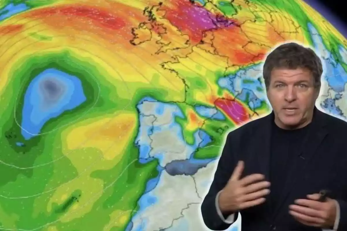
'It Will Also Arrive...': Mario Picazo Warns of the Phenomenon Many Will Notice This Week
Mario Picazo has warned of a week with a lot of meteorological activity, especially toward the weekend.
Meteorological instability will mark the coming days in Spain, warns Mario Picazo. The meteorologist has explained on eltiempo.es that several Atlantic fronts will arrive, bringing abundant rain, snow in mountainous areas, and temperature changes. However, after a few days of quite cold weather, the rain will take center stage.
This Monday, in fact, a first front will begin to bring rain to the western peninsula, especially affecting Galicia, Castilla y León, and Andalucía. As the week progresses, these precipitations will move toward the center and south, reaching the Mediterranean. It is not even ruled out that storms may occur in some regions, especially between Tuesday and Wednesday.
Watch Out for This Other Meteorological Phenomenon, Warns Mario Picazo
But rain won't be the only protagonist. Mario Picazo has warned that another phenomenon will also gain strength in the coming days: the wind. As the fronts cross the peninsula, the gusts will intensify.

The wind will be especially notable in the northwest and coastal areas, Mario Picazo has pointed out. This, combined with the maritime storm, will generate an increase in waves in coastal areas.
As for the snow, it is expected that the snow level will remain around 4,921 ft. (1,500 meters) in the northern half of the country. This will help accumulate a large amount of snow in the mountainous systems. However, unlike the previous week, the presence of snowfalls at lower levels will be less frequent, warns Mario Picazo.
More Changes for the Weekend
Starting Thursday, a new front will break in from the northwest, although its impact will be more limited. Nevertheless, the situation could become complicated during the weekend, when another frontal system is expected to arrive. This last one, Mario Picazo has warned, will be more active and could bring widespread precipitation to the peninsula and the Balearic Islands.

Temperatures, as usual in February, will fluctuate throughout the week. After a slight rise over the weekend, they will drop again with the arrival of the first fronts between Monday and Wednesday. Subsequently, a new rise is expected in the middle of the week before another drop with the arrival of new disturbances.
Cities like Murcia, Sevilla, Córdoba, Melilla, and Málaga could reach daytime temperatures close to 68°F (20 degrees), as well as some points in the Canary Islands. However, these conditions will be temporary, as meteorological variability will set the tone in the coming days.
More posts: